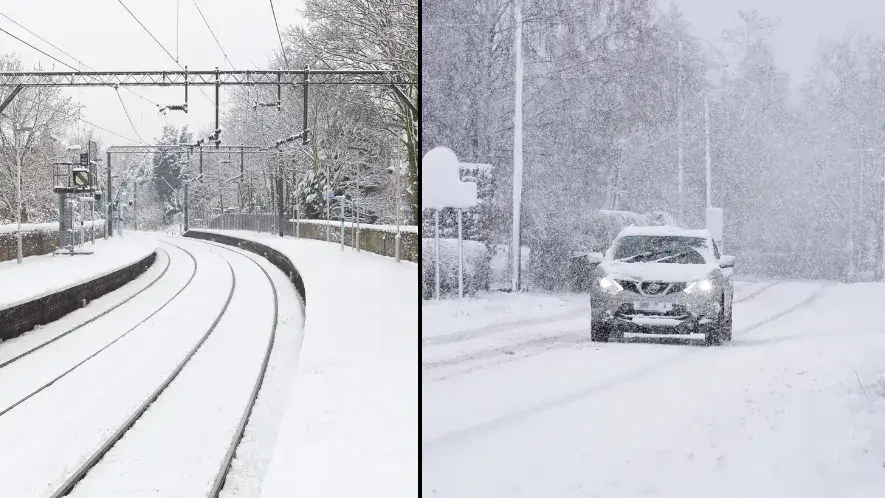
Remember the Beast from the East? Who am I kidding, of course you do. Well, there's another similar weather event coming our way, and it could hit us with snow before the month is out.
I know what you're thinking, because I'm thinking it too. "F*****g hell, not more cold weather."
We're meant to be well on our to way to spring by now, but that's being interrupted by what's known as sudden stratospheric warming (SSW).

Advert
In spite of its name, this weather event doesn't equate to warmer temperatures. It actually refers to a rapid warming between 10 km and 50 km above the earth’s surface, which produces knock-on effects to impact our weather lower down.
It doesn't happen every year, and it doesn't always affect our weather.
However, the Met Office has indicated there will be some impacts this time around, stating: "A major sudden stratospheric warming (SSW) event is now taking place and could hit the country later this month.
"This blocking high pressure can lead to cold, dry weather in the north of Europe, including the UK, with mild, wet and windy conditions more likely for southern areas of the continent."
Amy H. Butler, an atmospheric scientist at the National Oceanic and Atmospheric Administration (NOAA) Chemical Sciences Laboratory in Colorado, told Newsweek that such events are caused by 'very large atmospheric waves'.
"Low and high pressure systems on weather maps are manifestations of these waves. But, during winter, these waves can sometimes amplify into the stratosphere, the region above where our weather occurs," she explained.

"Just like ocean waves on a beach, these atmospheric waves then sometimes break, depositing huge amounts of momentum and heat. This is what causes the polar vortex winds to slow down and the stratosphere to warm."
Again, though the stratosphere will be toasty, the same can't be said for all of us here on Earth. In fact, latest UK weather maps have indicated that we'll experience the exact opposite, starting on 25 February.
Snow starts to appear on that date in Scotland, intensifying towards the end of that weekend with 5cm of snow set to fall.
As much as 12-16cm are then forecast to hit western and northern parts of Scotland on 28 February, and it could only get deeper as maps show up to 18cm falling in Scotland.
The rest of England won't escape the cold, as the threat of snow also hovers over the north-west and Wales on 28 February.
AccuWeather Meteorologist Lauren Hyde told the Daily Express it's currently 'too soon' to know exactly how much snow will fall, but said: "The highest probability of snow exists in Scotland during the late month time period, with some snow also possible in some of the hills and higher elevations of England and Wales."