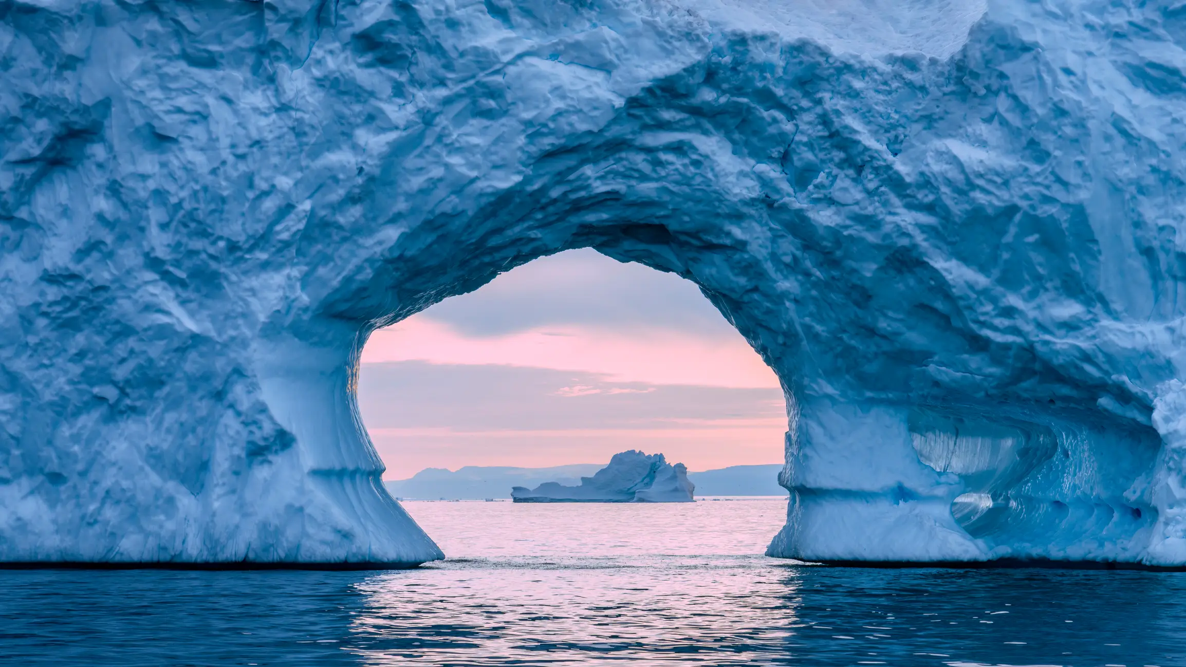
Mysterious 'cold blob' joins El Niño in major threat to global health
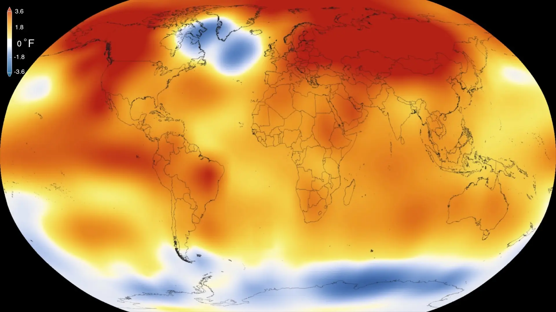
Scientists are concerned about a patch of unusually cold water in the North Atlantic Ocean, referred to as the 'cold blob' or 'warming hole'.
While a particularly powerful El Niño is on the horizon, this patch of ocean near Greenland has cooled by about 1°C over the past few decades.
A new study has now linked the cold blob to a weakening Atlantic Meridional Overturning Circulation (AMOC), a major system of ocean currents that carries warm water from the tropics towards Europe. This system helps regulate weather and temperatures around the world.
The slowdown may be caused by melting ice from Greenland, because as fresh water flows into the ocean, it essentially reduces the saltiness of the water, making it harder for the AMOC to operate as it normally does.
Advert
This weakens the flow of warm water and contributes to the cold blob.
“People have been asking why this cold spot exists,” said University of California Riverside climate scientist Wei Liu, who led the study with doctoral student Kai-Yuan Li.
“We found the most likely answer is a weakening AMOC.”
“Our results show that only the models with a weakening AMOC get it right,” Liu added. “That means many of the recent models are too sensitive to aerosol changes, and less accurate for this region.”
What a ‘cold blob’ means for Europe
The effects would not be limited to Europe. A weaker AMOC could also cause sea levels to rise more quickly along the east coast of North America.
At the same time, rainfall could decrease in parts of Africa and Asia, threatening agriculture, water supplies and public health.
Difference between ‘cold blob’ and Super El Niño
El Niño refers to the unusually warm phase that occurs when surface waters in the Pacific Ocean heat up.
It happens when normal, east-to-west trade winds weaken or reverse, causing warm water to pool along the Americas and disrupt global weather, often causing heavy rains in some regions and severe droughts in others.
Europe's most advanced long-range weather model — the ECMWF — has issued its May forecast showing a 100 percent chance of the strongest El Niño ever recorded forming by November 2026.
Unlike El Niño, a cold blob it may be a long-term climate change signal and could lead to colder European winters, rising sea levels and reduced rainfall in parts of Africa and Asia.
How does an El Niño year happen?
Strap in, folks. It’s time for some science.
It all starts with something called trade winds, which are permanent winds around the equator which usually blow from east to west. So in the equatorial Pacific, they blow from the Americas towards Australia and New Zealand.
As the wind blows the water east, it is warmed by the sun, so by the time it gets to the other side of the Pacific, the warm water causes hot air to rise, leading to warm, wet and unsettled weather. Meanwhile, colder water from deeper in the ocean rises in the east to replace the water blown west.
But during El Niño years, this gets disrupted.
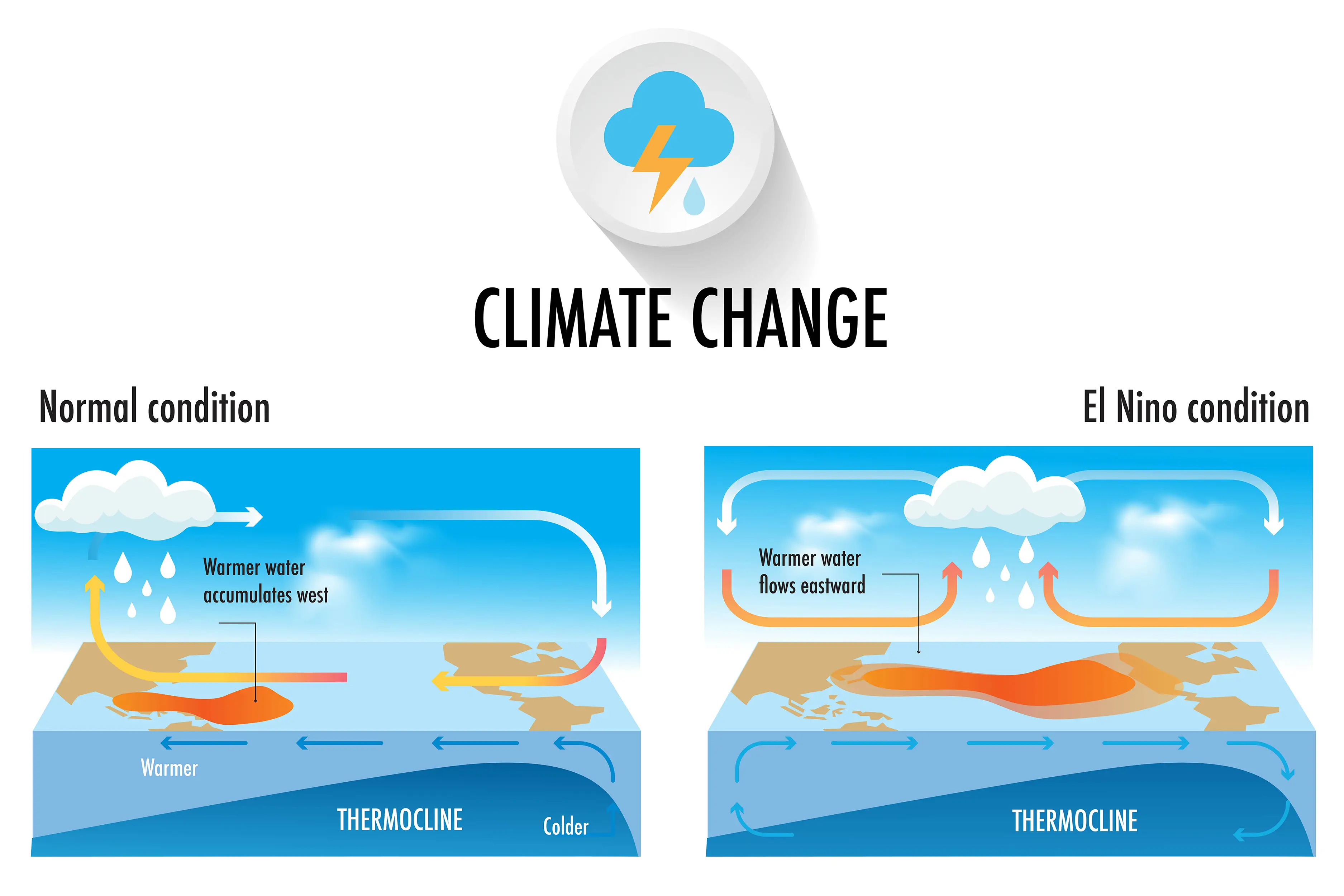
When trade winds are weakened or even reversed, the temperature difference between the east and west is cancelled out, and usually cold parts of the ocean warm up.
Rainfall and wind patterns change across the equatorial Pacific, which has a knock-on effect around the world.
Anyone else's head hurt a bit?