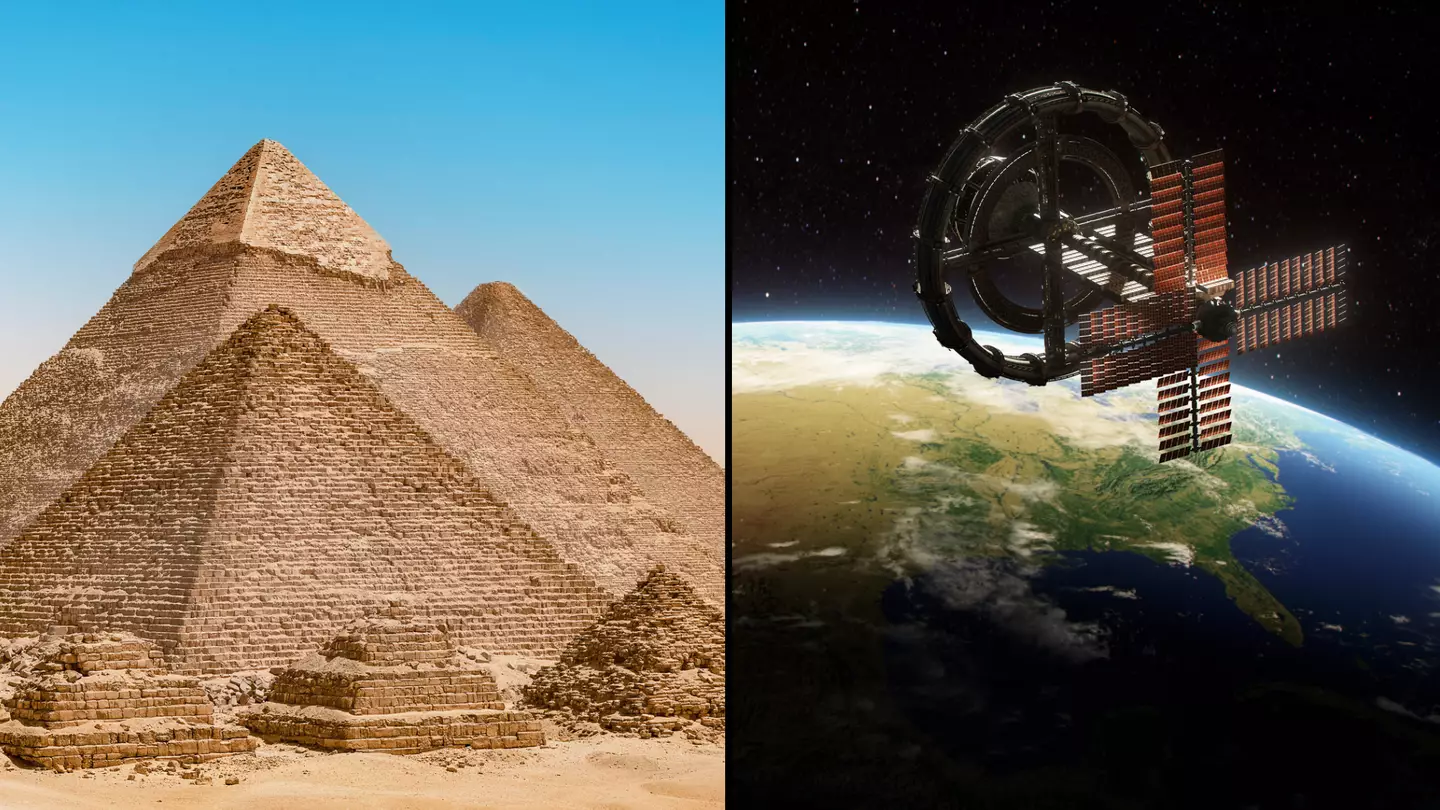
It seems as if one of the Seven Wonders of the Ancient World could soon be a marvel no more.
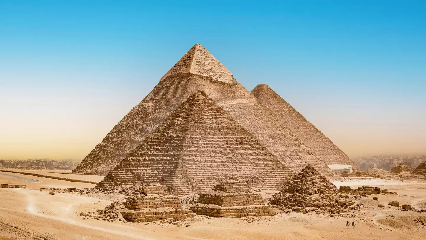
You don’t need to be a history buff to know that the legendary triangular tombs were roughly built around 2550 to 2490 B.C.
And with the Great Pyramid of Giza reaching 139 metres in height, and the Pyramid of Khafre coming in slightly shorter at 136m, the way these structures were built has always remained a great enigma.
However, new geographical research may have discovered exactly how stone blocks were transported to various construction sites.
Advert
New findings, presented at the 13th International Congress of Egyptologists, claim that there used to be a waterway which ran through Giza.
Recent reports have concluded that this now-dried-up body may have been exclusively used to transport the materials used to build these ancient masonry structures.
The waterway is also thought to have been quite large, which could correlate to why there is a cluster of pyramids situated in Cairo.
This brand-new discovery was made by Dr Eman Ghoneim, who employed radar satellite data from space to study the Nile Valley.
Advert

The latter is an Egyptian-American geologist who specialises in image and space data processing.
Speaking about her research to IFLScience, Dr Ghoneim said: “The length probably was really, really long, but also the width of this branch in some areas was huge.
“We're talking about half a kilometre or more in terms of width, which is something that is equivalent to today's Nile course width.
Advert
“So it wasn't a small branch. It was a major branch.”
According to her research, the riverbed actually reached up to around 100 kilometres in length at one point.
Elsewhere, the researcher also believes that the now-unusable waterway could have run from Giza to Faiyum and passed through a stunning 38 different pyramid sites.
“If there are pyramids everywhere in this specific area, there must have been in the past water bodies that carried or facilitated the transportation of rocks and large numbers of workmen to these sites,” she explained to the publication.
Advert

However, because it is yet to be confirmed that the now-defunct river was active during the Old and Middle Kingdoms, we cannot yet conclude that the waterway was actually used to transport materials.
Following the initial conclusions about the Ahramat Branch - which means Pyramid Branch in Arabic - Dr Ghoneim will now work to analyse soil cores from the ancient riverbed.
She also said that investigating the course of the waterway further will help researchers rediscover archaic settlements and lift the lid on pyramid construction.
Advert
“As branches disappeared, Ancient Egyptian cities and towns also silted up and disappeared, and we have no clue actually where to find them,” she explained.
Dr Ghoneim added that analysing the dried-up river will also help scientists to ‘understand our history and the Egyptian heritage’.
Topics: Science, World News, Space
