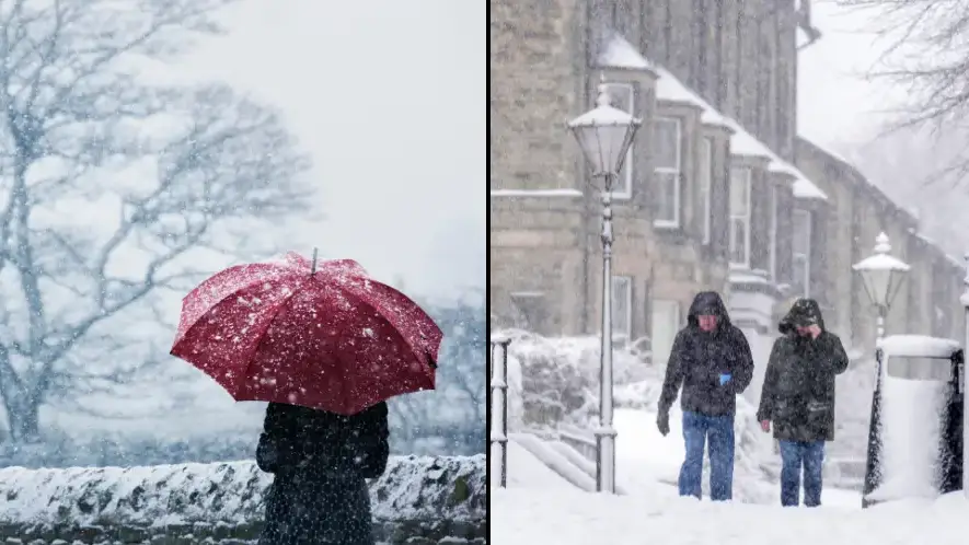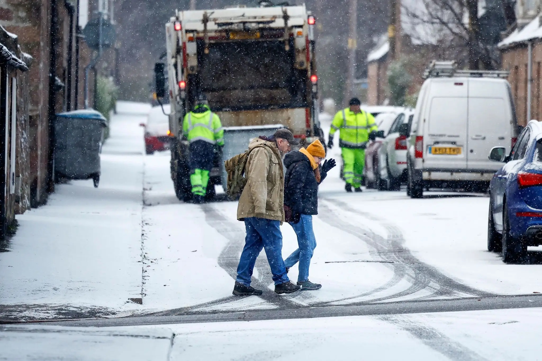
Get ready to dig out your hats, gloves and scarves now that the Met Office has issued a weather warning beginning tomorrow.
It’s autumn, and while it comes with lovely different colours of leaves and a crisp morning air, there’s also the chance that things will get chilly, but how chilly are we to expect?
According to the Office, we’re in for a bit of a cold one starting from tomorrow (17 November) as Arctic winds are set to sweep across the UK.

Advert
You can expect sub-zero temperatures, as well as rain to come in parts of Southern Scotland and Northern England, as temperatures in some areas will be well below the average for this time of year.
In London, you can expect highs of 6C and night-time lows of -1C.
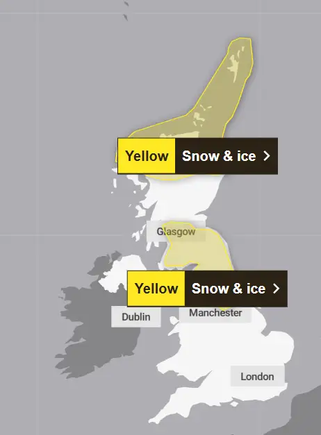
Snow and ice warnings have also been issued, with it coming into Scotland from tomorrow at 4pm until Monday 11am.
It’ll then travel to England from Monday at 10am until the same time on Tuesday.
Unfortunately, while the rest of the UK is set to experience maybe just a smattering of snow, heavy snow is due to take over the two areas given the weather warnings.
Meteorologists said there will be 'a messy mixture of rain, sleet and snow' in the next few days for parts of the UK, and everywhere will be a lot colder than they’d like it to be.

Apparently, there will be a 'major change in the weather from this weekend, as an early winter cold spell arrives bringing the potential for disruption for some next week'.
However, with cold comes danger, as the UK Health Security Agency issued a cold health alert starting from Sunday until next Thursday for the Midlands (sad week for me) and the North of England.
It warned of an 'increased use of healthcare services by vulnerable people' and a 'greater risk to life' for those who are vulnerable.
While a lot of inland places will see dry weather and a bit of frost in the morning, Northern Ireland can look forward to frequent showers (as usual) as well as the coastal areas of England and Wales, which will also see rain, sleet and hail.
According to a map showing forecast snow in southern Scotland and northern England, there is a possible fall of 15-20cm on hills above 400m, and then 2-10cm in low areas.

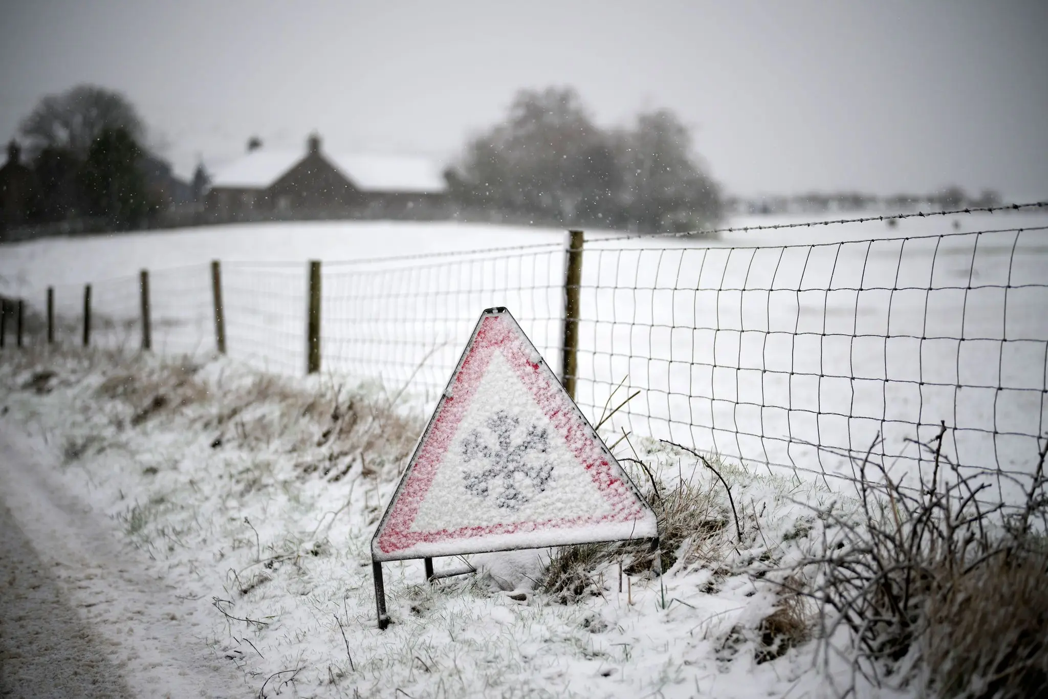
The first weather warning for Northern Scotland, which also covers the Highlands area, explained that ice and some snow could lead to 'slippery surfaces and difficult travel conditions'.
There is also possible 'icy patches on some untreated roads, pavements and cycle paths'.
Travel could be affected by the weather, such as roads and railways, meaning that you can expect longer journey times by road, train or bus services as well as 'injuries from slips and falls on icy surfaces'.
Forecasters went on to say that on Sunday afternoon, those living within the warning area will see showers that will turn increasingly chilly through the day, so get your wellies and umbrellas out.
