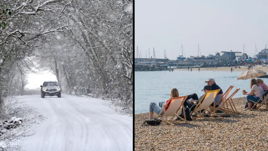
After basking in some much-needed spring sunshine, parts of the UK are set to be hit with snow next week as a 'taste of winter' returns, a Met Office meteorologist has warned.
While clocks went forward this weekend to usher in British Summer Time, it looks like the weather is about to take a not-so-seasonal turn after days of above-average temperatures.

Forecaster Marco Petagna said: "We'll get a taste of most of the seasons within the space of a few days."
Petagna said hill snow is likely to affect some parts of Scotland on Tuesday night, and possibly across the Pennines and Welsh mountains by Wednesday.
He also revealed how the temperature in Glasgow, Scotland, is due to drop by half - from 18.7°C yesterday to just 8°C by Thursday.
In a post on Twitter, Petagna warned that 'a shock to the system' would be 'lying ahead next week', saying that as British Summer Time arrives, 'a taste of winter' will be returning to the UK.
He explained how a cold front moving southwards between Tuesday and Thursday will bring a risk of hill snow in some parts, saying 'wintry showers' will then follow.
At a similar time last year, we saw an 'even more significant flip from warm to cold', he added, sharing a Met Office report that detailed how 'the warmth of late March' in 2021 was followed by a 'cold plunge in early April' thanks to a brisk northerly airstream that brought a cold Arctic Maritime airmass across the UK.
However, Petagna admitted that it wasn't all bad news, saying: "But it's still pretty good for the time of year. The average at the end of March would usually only be 9C or 10C in the north and 10-12C in the south. So it's still pretty good at the start of the week."
He also said there will be a 'more notable change' from midweek, with Thursday looking likely to be 'a cold day for most' with highs of between 6°C and 11°C.