'Hurricane hunters' in the United States have shared footage of the terrifying trip they took to the eye of Milton ahead of it reaching the Florida mainland.
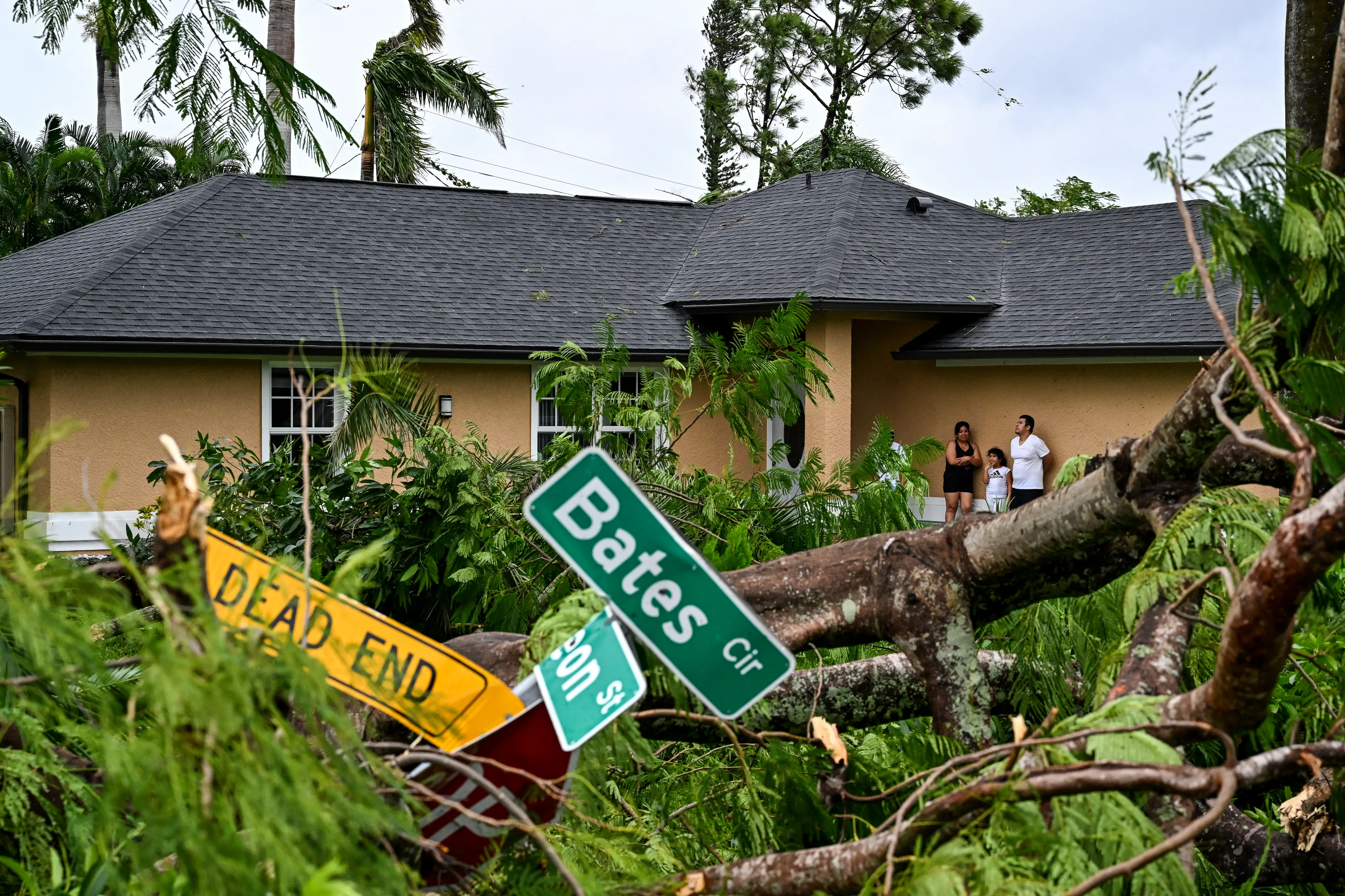
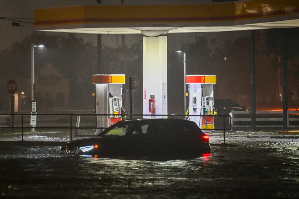
Hurricane Milton has hit the US state, with the likes of Tampa Bay expected to see up to 15 feet of surge water as flooding takes over almost the entire west coast of Florida.
Millions of residents in Florida have upped and left, taking what valuables they can with them, and countless people are expected to be left with ruined homes as a result of the storm.
Advert
Alongside the surge water, wind gusts of up to 200 miles per hour are set to have devastating effects. Sadly, some people have already lost their lives, with at least two fatalities currently recorded by officials.
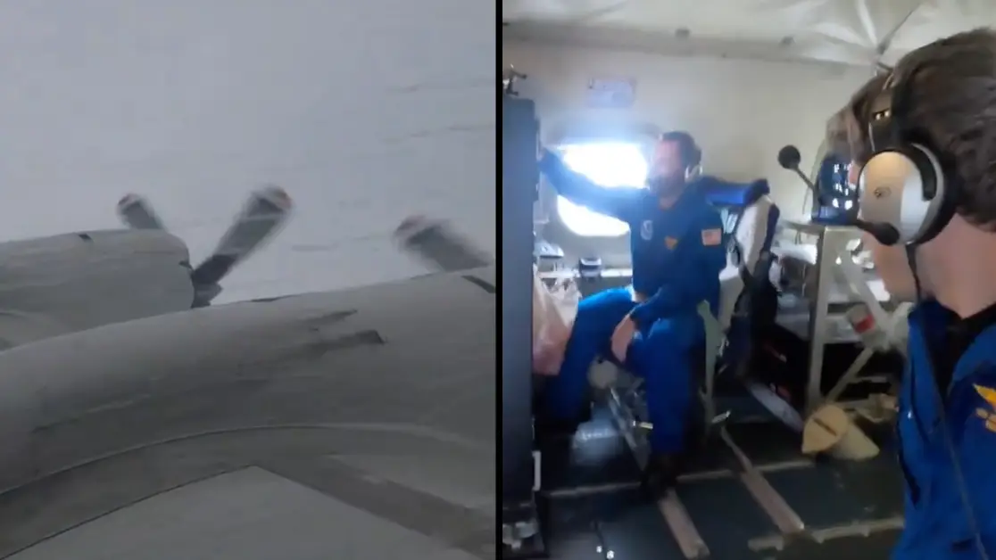
Over on social media, the National Oceanic and Atmospheric Administration's (NOAA) Aircraft Operations - dubbed 'hurricane hunters' - have put out footage of the work they have done to help map Hurricane Milton's path and ultimately help save lives.
The footage shows the Aircraft Operations crew flying directly in to the storm. And given the conditions, the turbulence is some of the worst you're likely to see footage of.
One video from Nick Underwood, a Programs and Integration Engineer with the NOAA, shows torrential rain battering the Lockheed WP-3D Orion aircraft as it journeys towards the eye of Hurricane Milton.
Inside the plane, items can be seen being thrown around the aircraft with crew only kept in their seats by the security of their seatbelts, with limbs flailing as they grab on to things to keep their seats.
Posting a video of their trip, the NOAA AircraftOperations crew wrote: "Bumpy ride into Hurricane Milton on NOAA WP-3D Orion."

At one point in the video Underwood is heard going 'holy crap' as he is forced to grab items so they don't fly away inside the aircraft.
Speaking to a colleague, he joked: “When you get a chance, can you grab my wallet too? Gotta keep these pockets zipped."

Jonathan Shannon, Public Affairs Specialist for NOAA Aircraft Operations Center, revealed the NOAA WP-3D Orion aircraft has been doing these trips for almost half a century in the name of science.
Shannon told the New York Post that the team has to do these trips because the team on the ground 'cannot get this important data our forecasters need at this scale and resolution any other way'.
“We basically take a weather station to the weather,” he said.
“The best analogy I’ve heard is it is like riding an old wooden roller coaster through a car wash."
Topics: Weather, US News, Travel, Technology, Science, Hurricane Milton