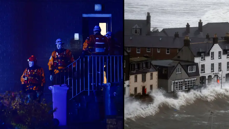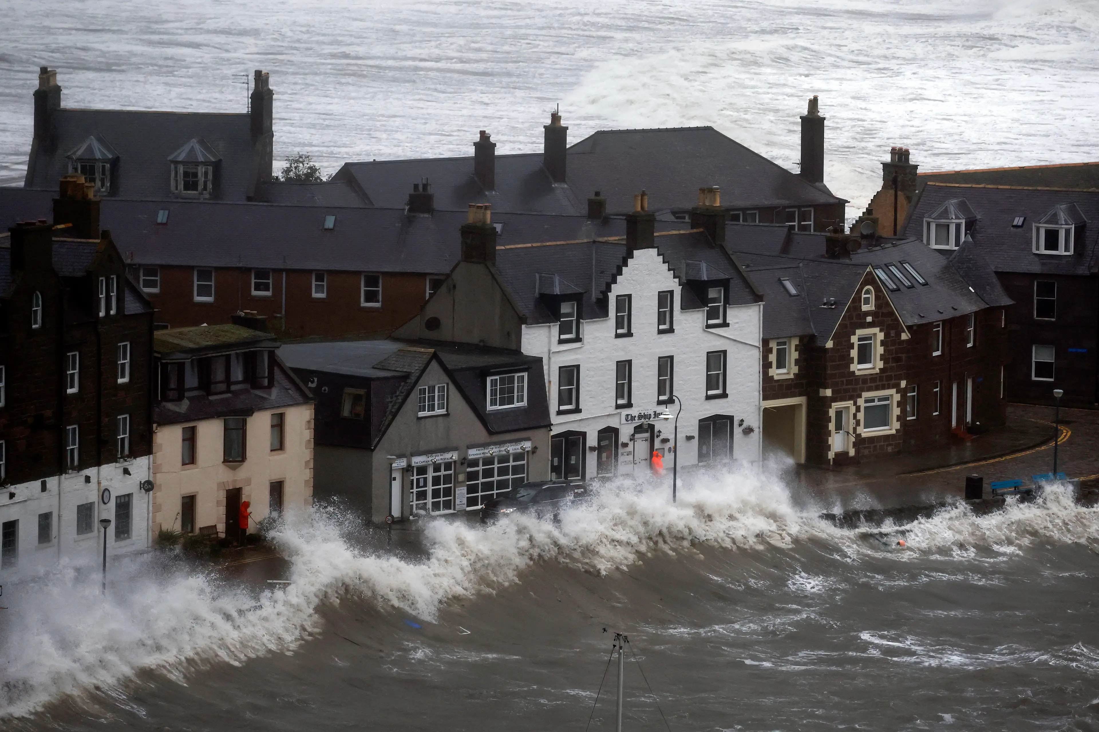
Storm Babet is currently battering the UK, with Scotland getting the worst of the bad weather.
Hundreds of residents in Brechin, Angus, were told to evacuate their homes yesterday amid concerns of flooding.
Scottish Environment Protection Agency (SEPA) issued a warning that river levels could reach an ‘unprecedented’ five metres above normal levels, and severe flood warnings were expanded for the River Esk, including into Aberdeenshire.
Advert
A 57-year-old woman tragically died after being swept into a river in Angus.
And it isn’t just Scotland that has been hit by the storm, as weather warnings remain in place across the UK.
Amber rain warning - in place from midnight Thursday to 6am Saturday
The amber warning is currently in place in these areas:
- East Midlands
- North East England
- North West England
- South west Scotland
- Lothian Borders
- West Midlands
- Yorkshire and Humber

According to the Met Office, an amber warning means that there are dangerous driving conditions, with road closures and disruption to public transport.
There could be ‘extensive flooding to homes and businesses’, which could lead to collapse or damage.
Fast flowing or deep floodwater is ‘likely’ and presents a ‘danger to life’. It could also lead to some communities being cut off, while ‘power and other essential services, such as gas, water or mobile phone service, may be lost’.
Red rain warning - Thursday 6pm to midnight tonight
The red rain warning is in place for:
- Central, Tayside and Fife
- Grampian
The Met Office says ‘exceptional rainfall expected to cause severe flooding and disruption’ with a ‘danger to life’ due to fast flowing or deep flood water.
There is likely to be ‘extensive flooding to homes and business’ as well as a high chance or collapsed or damaged buildings.
Driving conditions will be dangerous with the chance of road closure and disruption to public transport.
Power could be lost, alongside other essential services, while some communities could end up ‘completely cut off’.
Yellow rain warning - in place midnight Thursday to 6am Saturday
A yellow warning is currently in place for:
- East Midlands
- East of England
- North East England
- North West England
- Wales
- West Midlands
- Yorkshire and Humber
And in Northern Ireland:
- County Antrim
- County Armagh
- County Down
- County Fermanagh
- County Londonderry
- County Tyrone

The yellow warning means there is a ‘small chance’ that homes and businesses may be flooded and that fast flowing or deep flood water could cause a ‘danger to life’.
Driving conditions will be difficult, and public transport may be subject to delays and cancellations.
There’s also a ‘slight chance’ there could be power cuts and that some communities will be cut off.
According to the Met Office, most areas will be hit with around 25mm-50mm of rainfall, but some parts of North York Moors and Lincolnshire Wolds could have as much as 50mm-80mm while areas in the north of Wales, could have more than 100mm.
Yellow wind warning - in place 12pm Friday to midday Saturday
The yellow wind warning is currently in place for:
- Central, Tayside and Fife
- East Midlands
- East of England
- Grampian
- North East England
- South west Scotland
- Lothian Borders
- Yorkshire and Humber
The Met Office says the yellow wind warning means 'coastal communities will be affected by spray and large waves’, while there will be delays for ‘high-sided vehicles on exposed routes and bridges’.
It also warns that bus and train journeys may take longer.